Availability as open source is not a requirement for entries to the GeoChallenge competition for geographic solutions launched by Belgium’s Walloon region. However, “[open source] will not be neglected in our reflection,” says Emmanuel Jauquet, one of the organisers of the competition, who works for the Walloon government’s Department of Geomatics.
Mr Jauquet presented the GeoChallenge at FOSDEM, Europe’s largest free and open source software conference, in Brussels on 2 February. The competition is open to groups of students, university researchers and teachers, associations, and small and medium-sized companies.
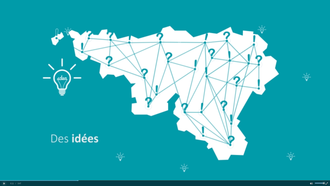
Candidate projects need to use at least some of the geographic data sets shared by the Walloon Geoportal. The goal is to create and implement solutions that increase citizens’ mobility, improve their quality of life, encourage entrepreneurship, or protect nature.
“Our aim is for the challenge to be a showcase for the use of this kind of information,” Mr Jauquet explained. “We want to show that a public service can be a pioneer for creating innovative services based on public spatial information.”
Inspire
The competition requires participants to apply include interoperability and accessibility rules as defined in the Inspire Directive. This is a policy on spatial and geographic information agreed by the European Union Member States in 2007.
The Walloon government aims to make its geoportal “a meeting point for the geomatics community”. In addition to a map viewer allowing visitors to browse geographic information, the portal should explain how to use this information, where to access data sets, and how to combine them to create new solutions. The GeoChallenge will help, the Department of Geomatics believes, by showing how geospatial information affects the economy, employment and mobility.
The portal aggregates geographic information produced by the Walloon government as well as by local, provincial, and federal public services.
The GeoChallenge opened on 10 February. In early April a jury will select candidate projects to receive financial support of around EUR 10,000 each. Teams will then have six to eight weeks to work on their solutions before the winners are announced on 28 May. The winners will continue to work on their solutions, which should be deployed between June and October.