Last update: 13/02/2024
EULF Blueprint
eGovernmentGeospatial

The ISA2 ELISE Action has supported phase 1 of the development of the Geospatial Knowledge Infrastructure (GKI).
The United Nations Statistics Division (UNSD) and Geospatial World, with a host of organisations worldwide, agreed to develop a collaborative approach towards advancing the role of GKI in the global society, economy and environment.
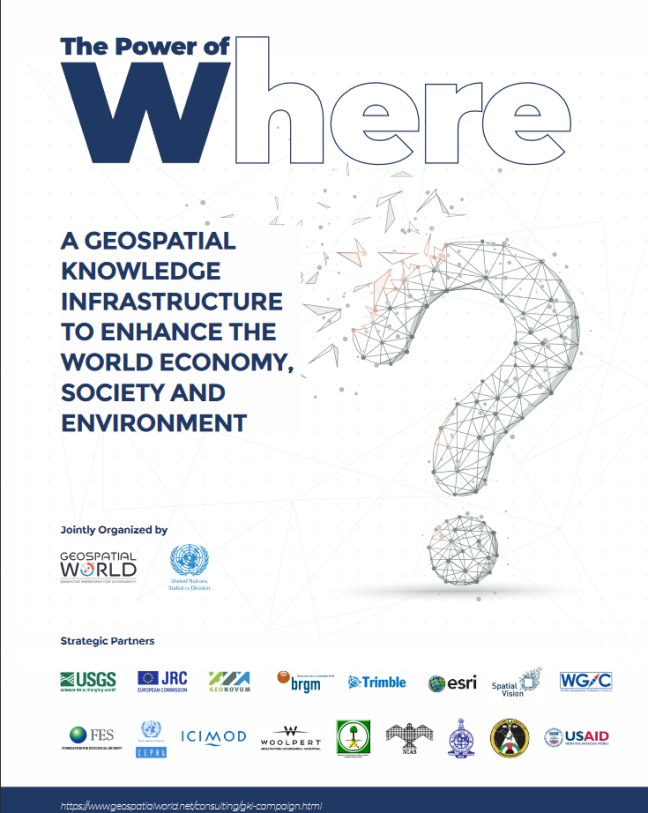
The GKI builds upon Spatial Data Infrastructures (SDIs) and the UN-GGIM Integrated Geospatial Information Framework (IGIF), which helps nations create their geospatial information infrastructures and moves the emphasis from supply to user demand.
The GKI project was launched in January 2020 as a three-year-long global partnership program developing the concept of a blueprint for a GKI.
It has three phases:
As a result of phase 1, the White Paper on GKI: The Power of Where has been published and available here for download.