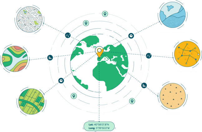
Geospatial data can be defined as data with a direct or indirect reference to a specific location or geographical area (cf. the legal definition in the INSPIRE directive, Directive 2007/2/EC). This term can be interchanged with location data, geospatial data or geodata.
In this respect, we can say, "Location is all around us" or "spatial is everywhere".
The use of location data and location related-technologies provides several benefits:
- they facilitate data integration
- they allow taking data-driven decisions based on where and why things happen
- they ease communication through initiative map representations
- they enable the visualisation of sophisticated models and simulations
The power of location data and technology combined with location interoperability principles can help design and deliver better digital public services leveraged on location insights.
Location interoperability is the ability of organisations, systems, and devices to exchange and make use of location data with a coherent and consistent approach. 
|
Location intelligence is the process of deriving meaningful insight from geospatial data relationships - people, places or things - to solve particular challenges such as demographic or environmental analysis, asset tracking, and traffic planning.
|
GeoAI uses machine learning to extract knowledge from location data and providing valuable approaches for addressing a variety of environmental and societal challenges. 
|
Location-enabled Digital Government 
|
Check out more definitions and key concepts in the ELISE action glossary.