Last update: 13/02/2024
LIFO - Location Interoperability Framework Observatory
ObservatorieseGovernmentGeospatial
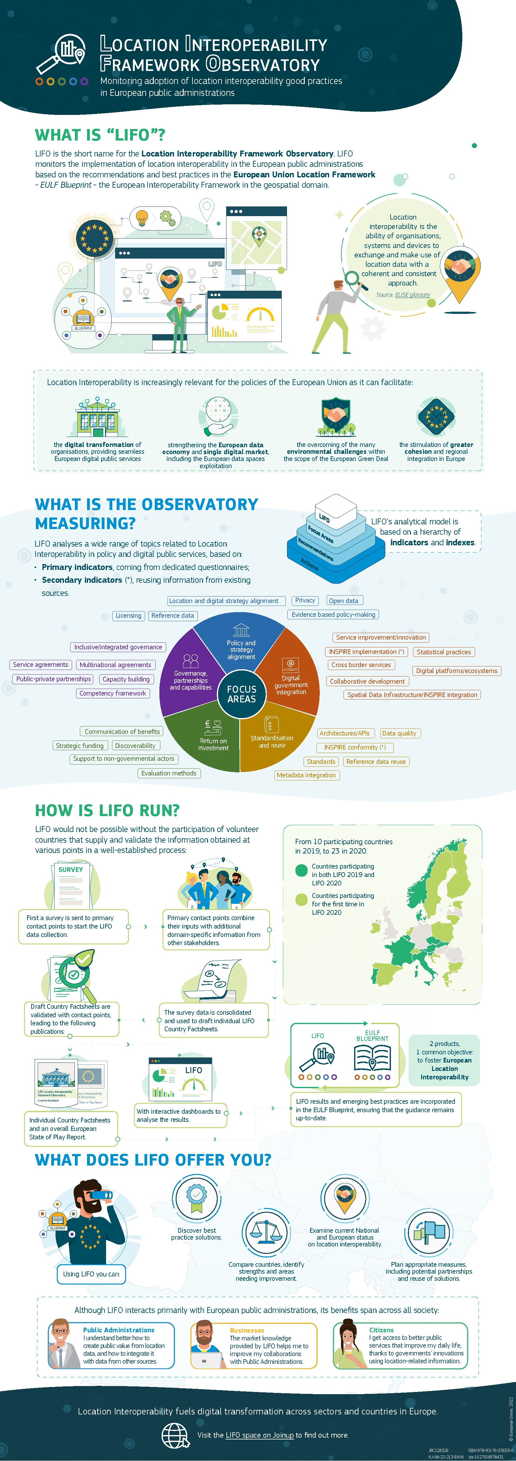
LIFO is the short name for the Location Interoperability Framework Observatory. LIFO monitors the implementation of location interoperability in the European public administrations based on the recommendations and best practices in the European Union Location Framework - EULF Blueprint - the European Interoperability Framework in the geospatial domain.
This infographic briefly explains the highlights of this observatory, what it measures, how it is run and how it can be of help not only to European public administrations but to the whole society in general.
