Last update: 16/02/2024
European Union Location Framework (EULF)
Geospatial

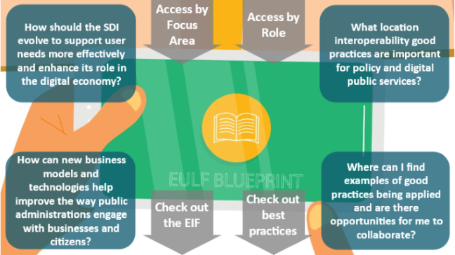
The European Union Location Framework (EULF) Blueprint is a unique framework of recommendations and related guidance for publishing and using location information and applying interoperability principles in digital government. First developed in the ISA programme, it has evolved in the ISA2 programme as the guiding framework for ELISE to communicate good practice, address new technology and policy developments, and assess the degree of adoption in Member States of these good practices - through the Location Interoperability Framework Observatory (LIFO). The EULF Blueprint builds on and complements INSPIRE and has close links with the European Interoperability Framework (EIF) as a recognised ‘domain interoperability framework’.
There are five focus areas in the EULF Blueprint: policy and strategy alignment, digital government integration, standardisation and reuse, return on investment, and governance, partnerships and capabilities. Guidance in these focus areas can be accessed through an interactive toolbox on Joinup, a downloadable document, or in supplementary guidance or specific studies.
In this webinar, Ray Boguslawski, an external consultant working with the European Commission Joint Research Centre will talk you through the EULF Blueprint and how it can be used to answer some of the key questions in optimising the use of location information in digital government, now and in the future.
The webinar will provide you with insights on:
The aim is to make the event as interactive as possible. Participants will be invited to give their views and ask questions on how the good practices in the EULF Blueprint are applied in their country/organisation, how it may help going forward, and what they would like to see in the future.
This webinar is a part of a series of “Webinars and events” performed by the European Commission's Joint Research Centre under the ELISE ISA² Action. The aim of these webinars is to quickly engage with new topics of relevance to the location interoperability, the digital transformation of government and socio-technical developments in this arena and to share the results and outcomes of ELISE action.
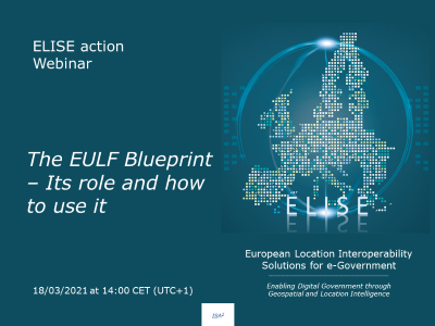
The webinar will take place on the 18/03/2021 at 14h00 CET (UTC+1).
If you are interested in this webinar, do not hesitate to register by clicking on the following button. You will receive a confirmation email with the instructions on how to join this webinar.

If you cannot join, register anyway, we will send you both the slides and the recording of the session.
After the webinar you will be able to find here both the recording and the supporting slides of this webinar.
If you are interested in knowing more about ELISE Webinars you can find further information here.